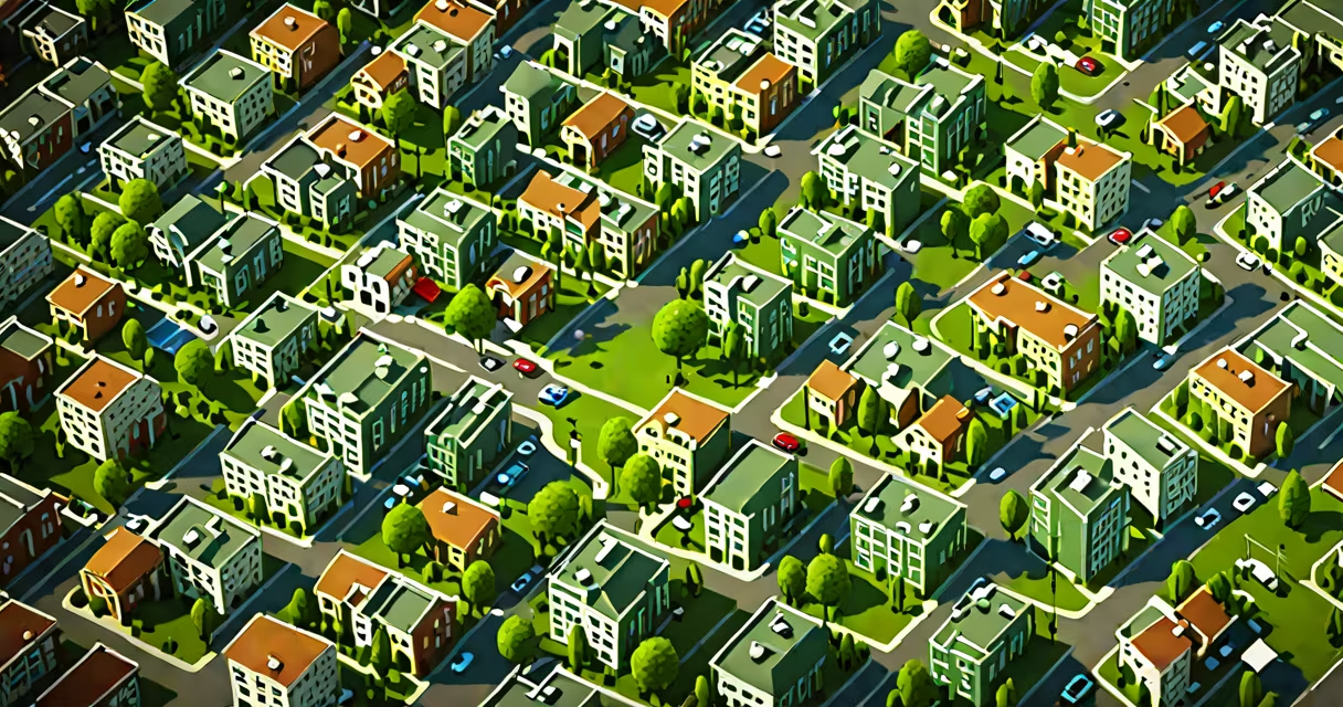
Human geography examines how human societies interact with and reshape their environments through culture, economy, politics, and settlement patterns. It focuses on spatial relationships, social processes, and the human experience across different locations.
This field analyzes why cities grow in certain places, how migration shapes national identities, and how access to resources affects quality of life. Unlike physical geography, which studies landforms and climate systems, human geography centers on people's actions and decisions within space.
For example, the layout of a neighborhood reflects choices about zoning, infrastructure, and social inclusion. A city's subway system doesn't just move people-it influences where jobs, homes, and services cluster. These patterns reveal deeper social dynamics tied to power, equity, and history.
Human geography uses spatial analysis to map and interpret human behavior across regions. Researchers collect data on population density, economic activity, language distribution, and political boundaries. They then apply models to explain movement, change, and inequality.
One common method is thematic mapping. For instance, a map showing income levels across U.S. counties reveals persistent disparities between urban cores and rural areas. Such visualizations show systemic issues like underfunded schools or limited healthcare access in low-income zones.
Geographic Information Systems (GIS) enable precise analysis. A study in New York City used GIS to track food deserts-areas without nearby grocery stores. By overlaying census data with store locations, researchers identified neighborhoods where residents relied on convenience stores with limited fresh options, leading to higher rates of diet-related illness.
Human geography divides into several subfields based on research focus. Each addresses distinct aspects of human-environment interaction.
| Type | Focus Area | Example |
|---|---|---|
| Cultural Geography | Language, religion, traditions, identity | Mapping dialect variations across Appalachia shows historical migration and isolation patterns. |
| Economic Geography | Trade networks, labor markets, industrial location | Automakers choose plant sites based on skilled labor availability and proximity to suppliers. |
| Political Geography | Borders, voting patterns, state power | Redistricting maps in Texas have been challenged in court for diluting minority voting influence. |
| Urban Geography | City planning, housing, transportation | Portland's transit-oriented development reduced car dependency and increased walkability. |
Each type relies on both qualitative and quantitative methods. Cultural geographers may conduct interviews in remote villages to understand local beliefs. Economic geographers analyze trade data from ports to trace supply chain shifts.
Human geography is often mistaken for sociology or anthropology. While those fields study society and culture, they don't emphasize spatial organization. Human geography asks not just "why do people live this way?" but "where do they live, and how does place affect their lives?"
A frequent error is equating human geography with cartography. Maps are tools, not the subject. The discipline goes beyond drawing lines-it interprets meaning behind spatial arrangements. For example, a red zone on a map might indicate high crime, but human geography investigates whether that reflects policing bias, poverty concentration, or historical disinvestment.
Another misconception is that human geography only applies to cities. Rural areas are equally central. Consider the decline of small towns in the American Midwest due to farm consolidation and outmigration. Human geographers examine how changes in agriculture, transportation, and digital access reshape community resilience and identity.
Human geography informs policy, business strategy, and humanitarian response. Urban planners use it to design inclusive public spaces. Nonprofits use it to target aid effectively. Governments rely on it to manage migration flows and disaster recovery.
Consider the 2010 Haiti earthquake. Human geographers mapped population density, building types, and road accessibility within Port-au-Prince. This helped relief teams identify the most isolated communities and prioritize delivery routes. Without spatial analysis, aid efforts would have missed entire neighborhoods.
I once worked with a team assessing refugee resettlement in Germany. We analyzed employment centers, school zones, and public transport hubs near reception facilities. Our findings showed that refugees placed near major transit nodes had faster job placement rates. This insight led to revised housing allocation policies, improving integration outcomes.
These examples show that human geography isn't abstract theory-it drives measurable results. It reveals hidden patterns in everyday life, from how we commute to how we vote.
The Royal Geographical Society defines human geography as "the study of the changing relationships between people and places." Its principles are foundational in urban planning, environmental justice, and global health initiatives.
National Geographic reports that human geography helps decode migration trends linked to climate change. For instance, rising sea levels in Bangladesh have displaced over 1 million people since 2000. Human geographers track displacement routes and assess host community capacity, guiding international aid programs.
Understanding what does human geography mean allows individuals and institutions to make better decisions. Whether designing a new park, allocating emergency funds, or evaluating education access, spatial thinking leads to fairer, more effective outcomes.